To the Untere Brüggele Alpe | Brand
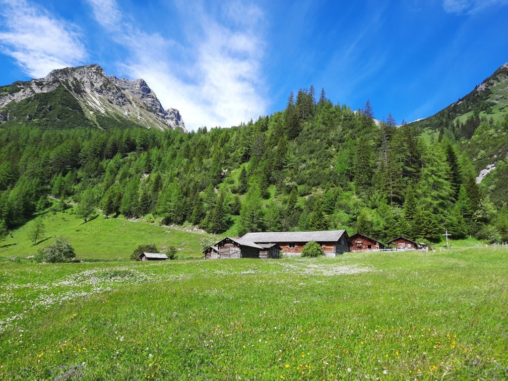
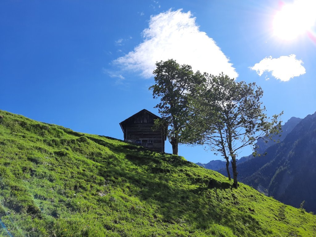
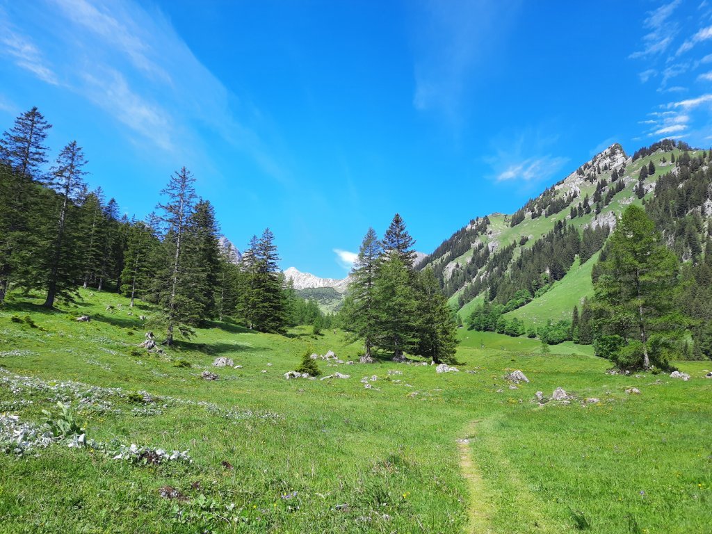
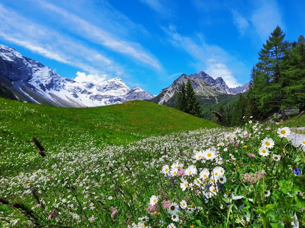
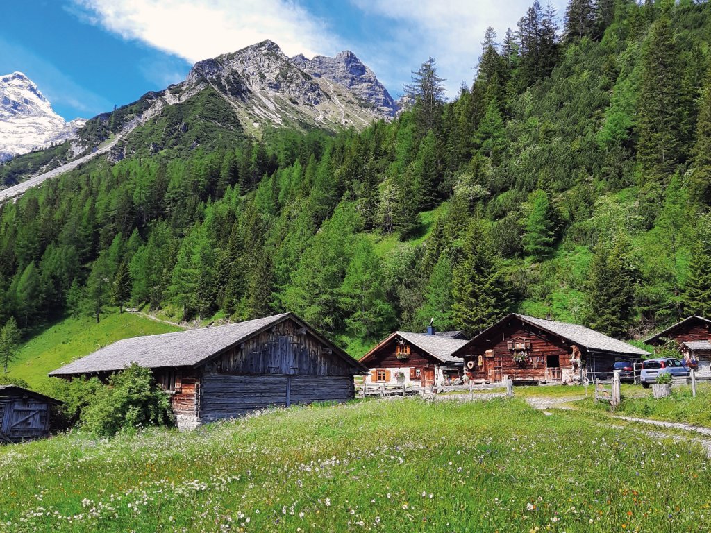
Hike through the unspoiled Zalim valley past the Glingabrunnen fountain to the Untere Brüggele Alpe.
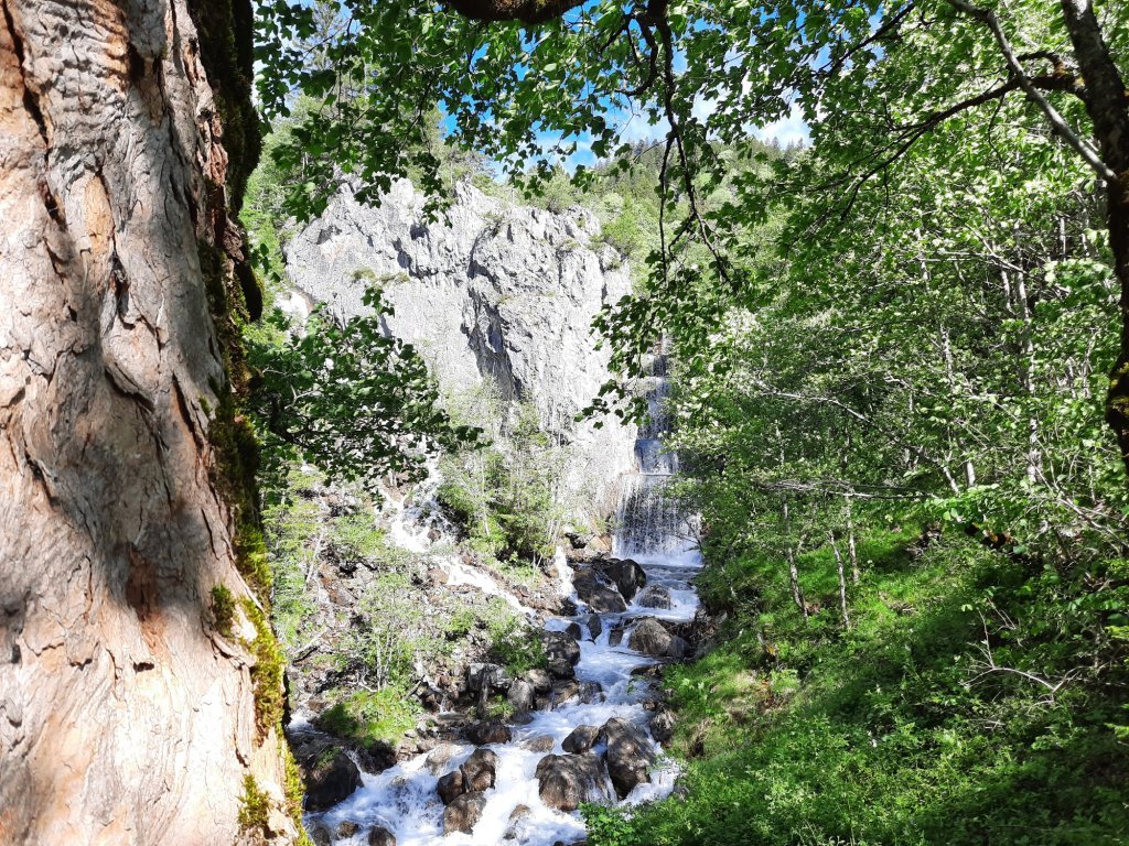
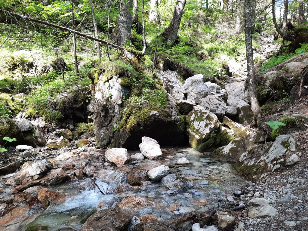
The way to the Untere Brüggele Alpe runs mostly in the shade of trees along the Palüdbach, worthwhile especially in dry and warm weather. The Glingabrunnen, a series of springs, is halfway along the way. The trail starts in Innertal and leads along a hiking trail into the picturesque Zalim valley to the Untere Brüggele Alpe, which invites you to stop for a break. Return via the same path or along the forest road.
Directions
Innertal - footpath along the Palüdbach - Glingabrunnen - Zalimtal - Untere Brüggele Alpe - same way back or alternatively via forest road
Suggestions
Possible alternative: Extend the hike to the Obere Brüggele Alpe at 1.704 m above sea level and follow the path over serpentines to the Oberzalimhütte at 1.889 m above sea level.
Best time of year
Equipment
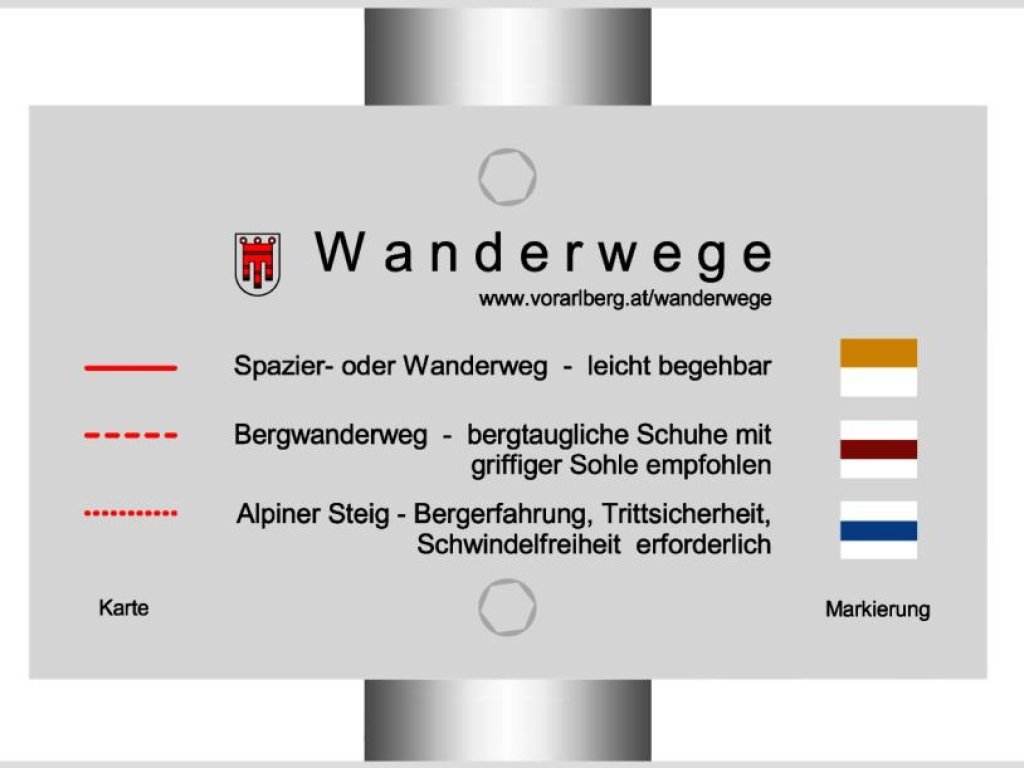
Hiking boots, warm clothing, rain and sun protection as well as hiking poles are recommended. Mobile phone for emergencies.
Safety information
EMERGENCY CALL140 Alpine emergencies throughout Austria
144 Alpine emergencies Vorarlberg
112 Euro emergency call (works with any mobile phone/network)
www.alpenregion-vorarlberg.com/sicherheitstipps-wandern
Public transport
Bus line 580, stop Mountain LodgeTimetable online at www.vmobil.at
Tour facts
- Data source
- vcloud, ID 90084ea7-31ce-432a-91a3-79a10d36181f
- Last updated
- 07.05.2024, 15:05:01

